GPR+DRONE INTEGRATED SYSTEM
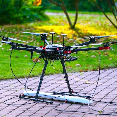
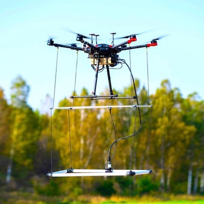
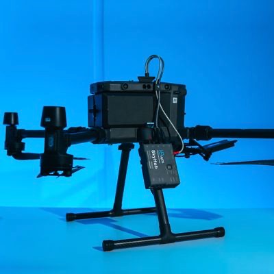
The onboard computer UgCS SkyHub enables full integration of the Ground Penetrating Radar (GPR) and a drone
- Status of the radar's and drone's current trace is displayed on the screen of UgCS
- Data logging is started automatically at take-off and finished upon landing
- Radar's data is geotagged with GPS coordinates from the autopilot
- The integrated system guarantees the delivery of accurate survey results, is safer for personnel and is more time-efficient.
MAGNETOMETER | MAGARROW
Ultra-sensitive hi-end lightweight magnetometer for UAV
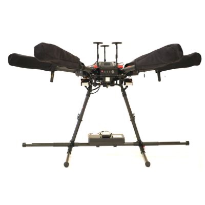
The system consists of the MagArrow magnetometer mounted on a drone. Survey missions are planned and flown in automatic mode with UgCS. The adding of the onboard computer UgCS SkyHub enables the drone to fly in True Terrain Following (TTF) mode with the help of the radar altimeter and logs precise flight track to refine MagArrow's data.
METAL DETECTOR | GEONICS EM61LITE
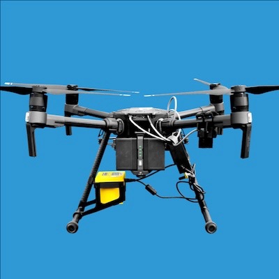
UAS deployable metal detector system to detect metallic (ferrous and non-ferrous) items for:
- UXO Detection
- Environmental Monitoring
- Archaeology.
MAGNETOMETER | MAGDRONE R3
SENSYS MagDrone is a Fluxgate magnetometer system and therefore is able to detect any magnetic metals/materials. It is applicable to:
- Searching for UXO (unexploded ordnance)
- Locating buried infrastructure (metal pipes and shielded cables)
- Archaeology
- Surveying for any metal objects weighing a few hundred grams or heavier lying underground.
BATHYMETRIC DRONE
- Supported sensors - Echo Sounder or GPR - can be selected based on the water depth, required sensitivity, and water properties
- It is easy to transport deploy and has the ability to operate at hard to reach locations, unsafe or hazardous environment
- The drone makes bathymetric surveys 10 times faster and 2 times more cost-efficient compared with a standard approach using a ship, a boat or an unmanned surface vehicle
DRONE BASED METHANE DETECTOR
The remote methane detector Laser Falcon integrated system with a drone for natural gas pipeline surveys, tank inspections, landfill emission monitoring, gas well testing, and plant safety audits.
A high-sensitivity laser methane gas detector can pick up even the tiniest leaks from the 30-meter height.
The device is only sensitive to methane, so no false readings of other gases are possible.
The onboard computer UgCS SkyHub transfers detector's data instantly to the remote control (RC) of the drone and to UgCS software.
ALTIMETER FOR TRUE TERRAIN FOLLOWING
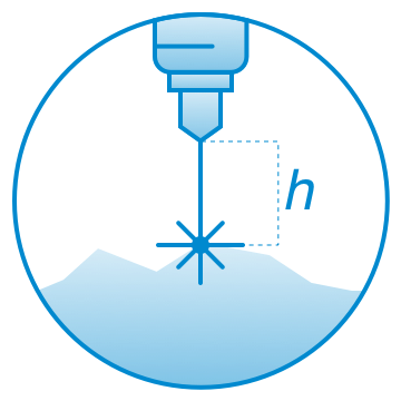
True Terrain Following mode enables the drone to fly at low AGL altitudes (up to 1 meter) without a need to import precise Digital Elevation Model (DEM) height-map into UgCS . To fly in True Terrain Following mode the onboard UgCS SkyHub computer is required.
UGCS SKYHUB 3
UgCS SkyHub is an onboard computer designed to enhance the capabilities of commercial-off-the-shelf UAVs for industrial purposes and to support diverse sensor integration.

