LIDAR360 Forestry license
Leverage LiDAR360 processing software to generate geospatial products from mobile, terrestrial, UAV or airborne systems that meet critical needs of foresters.
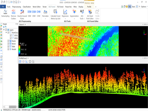
LIDAR360 Forestry license unlocks two modules: ALS Forest and TLS Forest.
ALS Forest is to support aerial (both UAV and airborne) LiDAR data for forestry applications. Functions include: Statistical Parameter Extraction, Regression Analysis, Individual Tree Segmentation, Batch Processing, Reporting.
TLS Forest module is specifically for terrestrial LiDAR scans, including methods for ground point classification, segmenting individual trees from a LiDAR scan by identifying tree trunks, editing individual tree properties, editing individual tree, etc.