Borehole geophysics
Borehole geophysics presents the advantage of a high spatial resolution at a certain depth, obtained by implementing the down-the-hole solution - launching the geophysical instrumentation in the borehole.
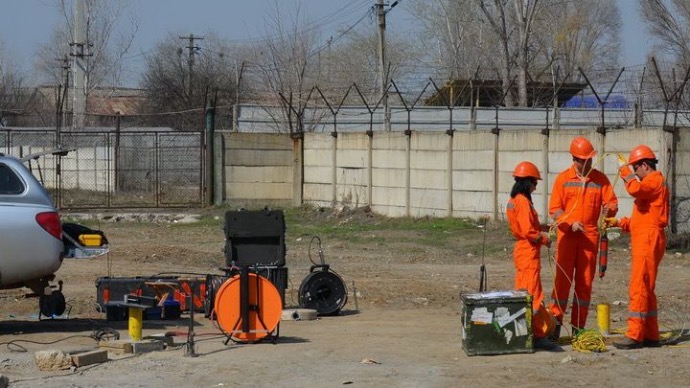
EM measurements
The method of electromagnetic investigations has as its theoretical basis the induction of electric current in the ground through the magnetic component of the electromagnetic waves generated on the surface of the ground. Rocks (and buried structures/objects) have different electrical conductivity values.
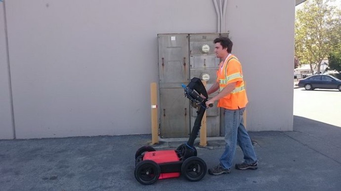
Georadar measurements
In georadar (GPR) investigations, electromagnetic waves of different frequencies are transmitted into the ground or different structures. This energy is reflected and received at the surface when it meets significant contrasts of dielectric properties.
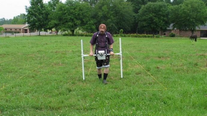
Magnetic measurements
Magnetic investigations are a passive method based on the measurement of local disturbances of the Earth's magnetic field, caused by the presence of buried ferrous objects (for example, pipes, cables, ammunition, etc.).
Geoelectrical measurements
The electrical properties of the foundation land vary depending on the material, the level of fluid presence and saturation, as well as the presence of buried objects. Geoelectrical measurements seek to describe the distribution of these properties according to depth and horizontal distance.
Seismic measurements
The elastic energy induced in the ground by an impulse or with vibrating sources will propagate through the ground in the form of elastic or seismic waves. If a wave encounters an acoustic impedance contrast (determined by the elastic properties of a material and its density), part of its energy will be reflected.